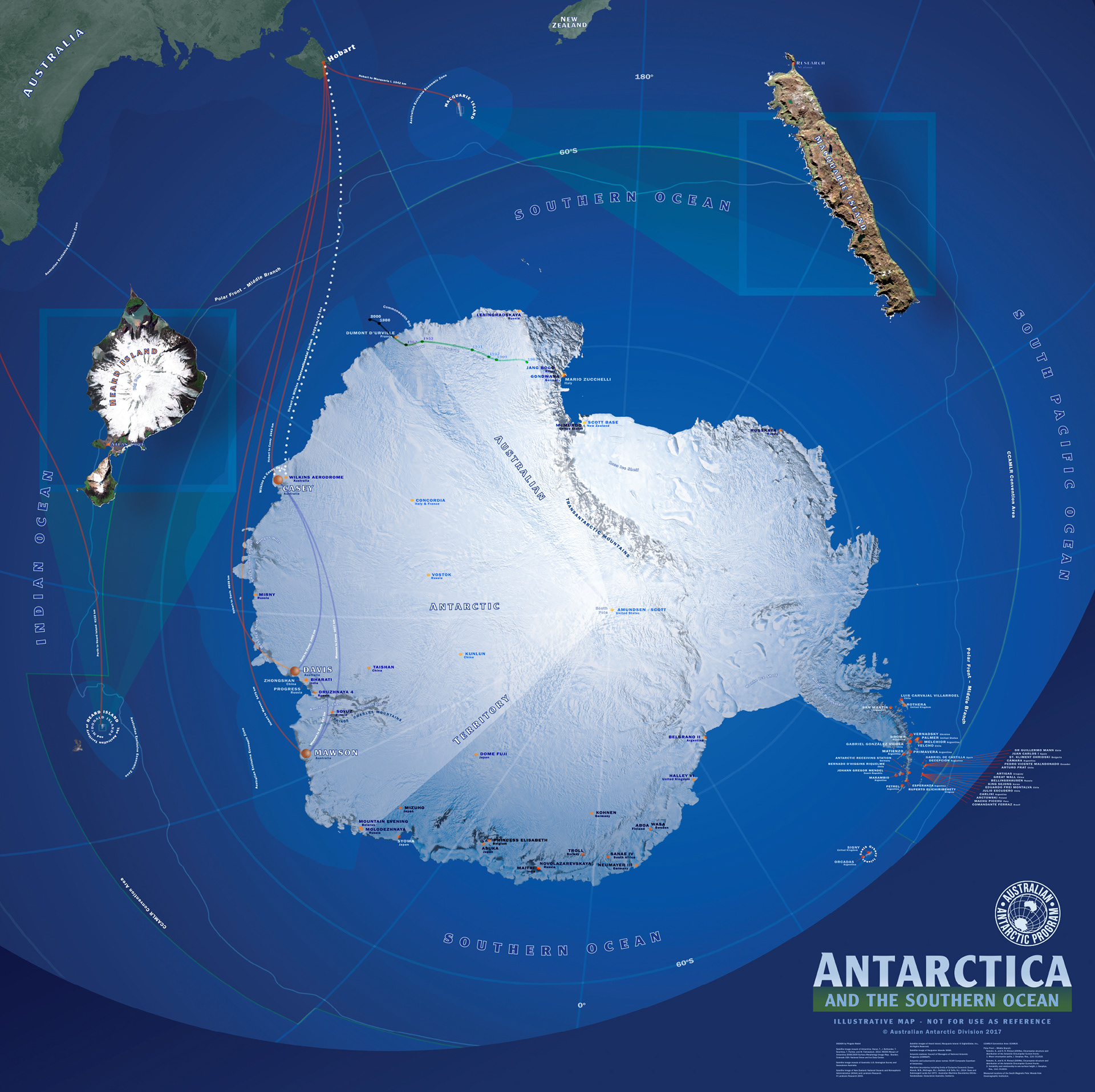
Antarctica MAP Mural 2017 FINAL edition
The FINAL 2017 updated Antarctica MAP wall mural . . . updated satellite image, locations, flight paths, map co-ordinates and altogether more accurate than the previous 2004 map.
Printed and mounted on a convex wall 2.5 meters by 2.5 meters, as part of the Australian Antarctic Division's foyer interpretation house display area.

Antarctica MAP Mural 2004 edition
Originally created for the Australian Antarctic Division's foyer interpretation display area in 2004, we are now updating this map to current information. It is a wall mural, 2.5 wide by 2.5 meters high and new satellite imagery with labels and divisions will bring it up to date.
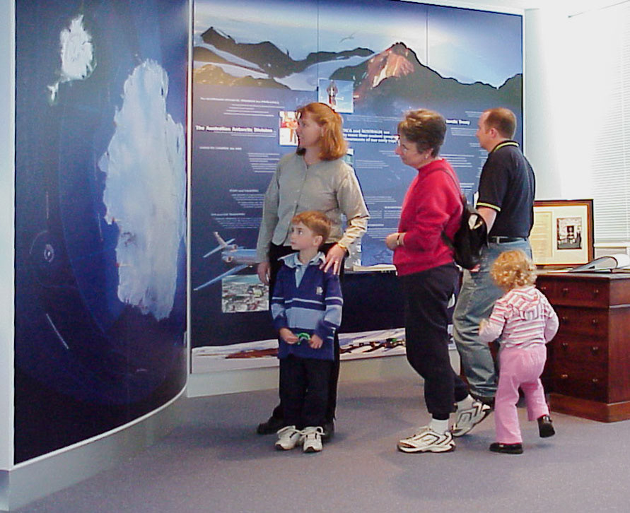
Visitors to the Australian Antarctic Division foyer view the Antarctica Map in 2005